
NOAA Satellites
@NOAASatellites
The NOAA Satellite & Information Service (referred to as NESDIS) is a line office of @NOAA.
가입 April 2009
639 팔로잉 중 1.4M 팬
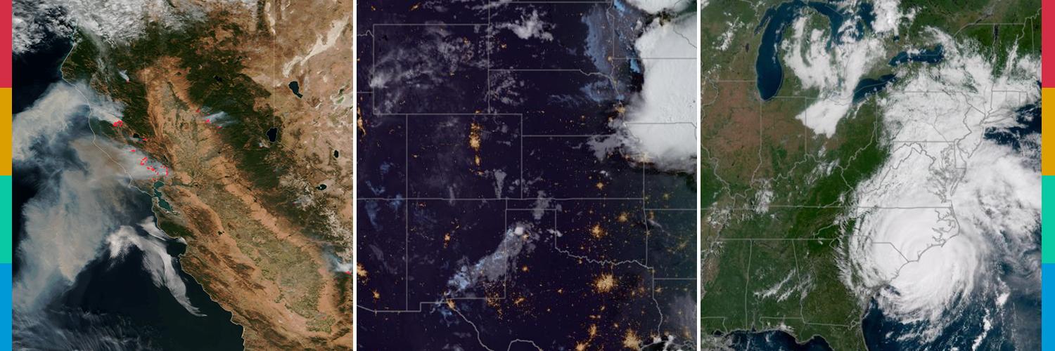
There is a #SlightRisk# of #severe# weather in a swath spanning Oklahoma and north Texas today, which has prompted #FloodWatches# in the area. This water vapor imagery from @NOAA’s #GOESEast# (#GOES19#) 🛰️ highlights where the moisture is concentrated.
Learn more:
더 보기