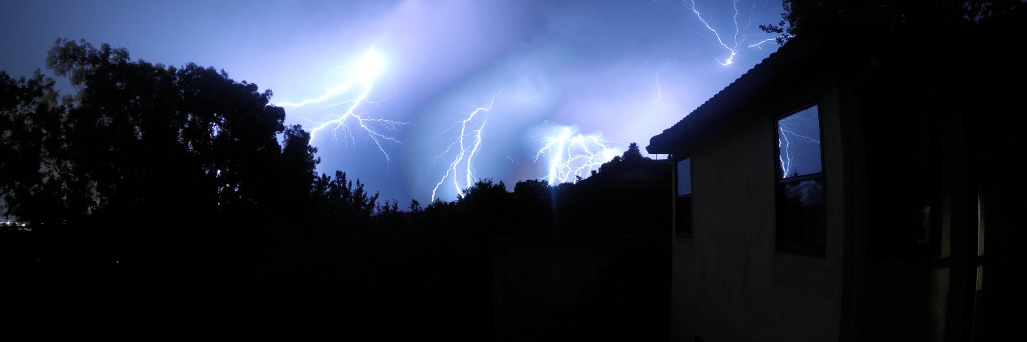

The rapidly spreading Norte Fire is burning homes in San Juan Capistrano, CA, fanned by warm, dry Santa Ana winds.

UPDATED video sent from my dad of #Nortefire#
Very scary stuff. Praying for everyone.

The Norte Fire is rapidly spreading in San Clemente and San Juan Capistrano with homes on fire near Avenida Calita, Via La Mirada and Via De Agua in San Juan Capistrano.
Recent scanner traffic has reported at least 8 homes on fire.
Show more

The world keeps going electric and the United States is going the other way.

Friendly reminder that a dry, warm fall tells us pretty much nothing about how wet this winter will be in California.
The wet season will likely ramp up in November and December, with the biggest storms during Super El Niño typically hitting January through March.
Show more

The low currently tracking towards Iceland out in the Atlantic is an absolute beast.
What a beauty!

I can’t get over how active this hurricane season has been in the Eastern Pacific. It’s already the basin’s most active season ever recorded, and we have another Category 4 hurricane on the way this weekend. There’s also a growing signal for another major hurricane (Category 3+) by late October.
We could end up with 10 or more Category 4 or 5 hurricanes in a single season.
This is truly a generational hurricane season, one we may not see surpassed for decades, all while the Atlantic is on track for its second-quietest season on record.
A consequence of this year's record strong El Niño.
Show more

The world’s leading seasonal forecast models have never shown California this wet, not even in 1997–98.
Europe’s Copernicus climate service (C3S) just released its October outlook, combining 10 seasonal forecast models from 9 weather agencies. The C3S average calls for 156% of normal precipitation statewide this Dec–Feb, the wettest California winter forecast these models have produced, wetter even than their reruns of the 1997–98 super El Niño.
Out of 454 total model members, only 8% show a drier-than-average Dec–Feb statewide, while about 13% are explicitly forecasting California’s wettest winter on record. A record-wet winter is now more likely than a dry one.
This far out, forecasts are about odds, not certainties. But 9 in 10 runs come in at or above normal, and even the driest 10% of runs average 88% of normal. The odds have never leaned this heavily toward an exceptionally wet winter, though a below-normal winter is still possible, but extremely unlikely.
Show more

Many of the cities with the nicest weather in the world are cheap, mostly for reasons that have nothing to do with climate.

The cities with the nicest weather in the United States are almost always the most expensive.


MONTANA WINTER STORM! ❄️☃️ Over 13" of snow fell this weekend across the state, especially in Helena and Great Falls, who broke a daily snow record. The heavy, wet snow brought down numerous trees on to cars and powerlines in the region. Believe it or not, extra moisture from the remnants of Hurricane Rachel in the Pacific helped to boost snow totals! @stormhour
Show more



Update: Now Post-Tropical Storm Rachel has made landfall along northern Baja CA north of Ensenada. San Diego is thus spared brunt, but bands of torrential rainfall & severe thunderstorms are occurring from CA's Imperial Valley eastward into AZ, w/serious flash flood threat. #CAwx#
Show more

Category 3 Hurricane Isaias is barreling toward the Florida Panhandle with sustained winds of 115 mph and gusts up to 150 mph.
The view from space is ominous.


10/09/2026 1p CT update: Hurricane #Isaias# is beginning to bring tropical storm conditions to the northern Gulf Coast.
Isaias is a category 3 hurricane with max sustained winds near 120 mph. Fluctuations in intensity are possible through this afternoon, but Isaias is expected to be at or near major hurricane strength when it makes landfall within the warning area this evening.
Preparations against life-threatening storm surge and devastating winds should be rushed to completion in the next couple hours.
Show more


USGS has revised the Panama earthquake to magnitude 7.7, making it the strongest quake recorded in Panama since modern instruments began.
BREAKING: A magnitude 8.0 earthquake just struck Panama, 9 miles southwest of Pitaloza Arriba.

BREAKING: A magnitude 8.0 earthquake just struck Panama, 9 miles southwest of Pitaloza Arriba.
We are already seeing severe coastal flooding in portions of Newport Beach and Long Beach.
In Long Beach, multiple homes are on the verge of collapse, and high surf and water levels are only expected to increase further this weekend as Tropical Storm Rachel approaches SoCal.
Show more

Waves whipped up by Hurricane Rachel smashed through a 30-foot section of the boardwalk on the Peninsula. Two buildings have been red-tagged. More here:

Hurricane Rachel could bring significant impacts to SoCal Sunday into Monday, including coastal flooding from high tides and surf, potentially heavy rain and gusty winds as it transitions into a post-tropical storm.
This is a highly unpredictable forecast, so expect changes.
Show more

The hottest summer in American history is no longer 1936; it is now officially 2026.

Why was Southern California so humid today?
Severe marine heatwave + strong heat dome overhead + remnant moisture from a tropical storm.

Today was one of the most humid days in Southern California's modern history.
The average dew point was ~70°F (21°C) at LAX. That is brutal humidity.

Energy is the bottleneck in America.